Providing GIS data to inform conservation and land-use planning, enhancing soil health and carbon sequestration statewide.
Massachusetts Executive Office of Energy + Environmental Affairs
Project Overview
In support of the Massachusetts Healthy Soils Action Plan (HSAP), the Statewide Soil Organic Carbon Mapping Project provides crucial data for conservation and land-use planning across the state. This project is a collaborative effort led by Regenerative Design Group to produce GIS data layers estimating both current and potential Soil Organic Carbon (SOC) levels in Massachusetts.
Recognizing that land cover is a primary driver of SOC, the project expands upon existing soils data by adjusting SOC estimates to reflect the influence of different land cover types, including forested, cultivated, and impervious surfaces. To achieve this, the team analyzed data from the NRCS’s Rapid Carbon Assessment (RaCA), incorporating region-specific SOC values to produce a refined, high-resolution dataset.
Key outputs of this project include GIS layers for current and potential SOC, as well as a table detailing SOC impacts of land cover conversion. These data products are designed to help conservationists and planners identify areas for protection, restoration, and intervention based on soil health and carbon sequestration capacity.
Alongside the GIS layers, the project included a series of workshops and conference presentations to support stakeholders in using these datasets effectively. RDG is currently working with the EOEEA to host these data layers publicly through MassGIS, making them accessible for climate resilience and healthy soils planning efforts statewide.
Services + Accomplishments
- Comprehensive mapping and modeling of Soil Organic Carbon (SOC) stocks across varied land cover types
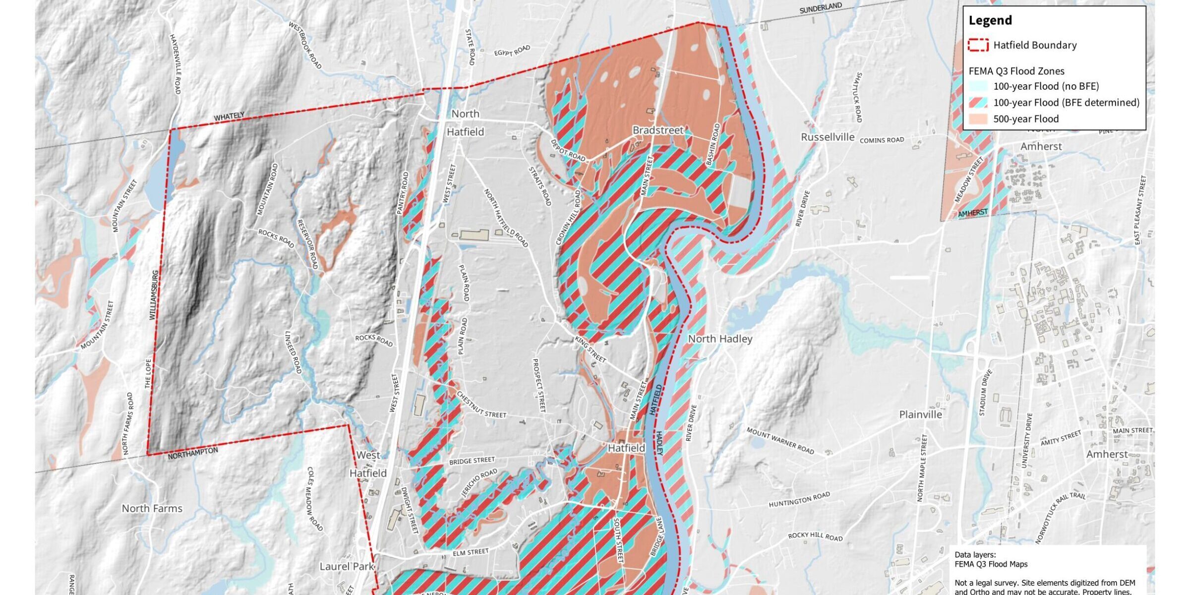
- Production of detailed maps and data visualizations to support planning and decision-making for stakeholders
- Stakeholder engagement through workshops and presentations to communicate findings and gather feedback
- Collaboration with state and municipal agencies to integrate SOC data into broader climate resilience and land use planning


