Learning from silvopasture practitioners throughout the Northeast.
National Agroforestry Center
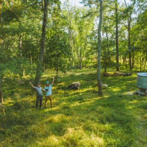
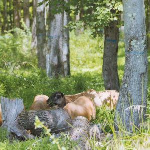
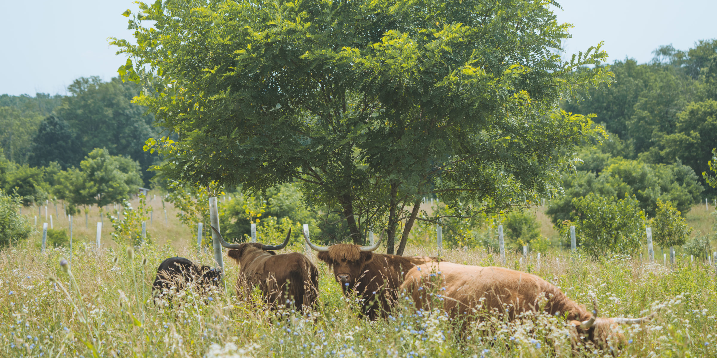
This project was a collaboration between RDG, Wellspring Farm, and Inhabit Films to understand the current landscape of silvopasture practitioners in our region. Silvopasture Practices for Land, Animal, and Farm Resilience began with an inventory of self-identified silvopasture practitioners in the Northeast United States. A total of 145 respondents across 9 states (ME, VT, NH, MA, CT, NY, RI, NJ, PA) reported stewarding ~27,000 acres in total, with ~5,300 of those acres in silvopasture management. From these respondents a range of examples were selected for a 9-part silvopasture video series, with accompanying case study sheets, to offer a snapshot of the practice in context. The 10-part video series is available at Farming with Trees, a decentralized network encouraging collaborative projects in agroforestry that are grounded in the wisdom and knowledge of people, communities and ecosystems.
All case study sheets are available for download. Just click on the farm name below.
This project was made possible by a grant from the U.S Department of Agriculture (USDA), Forest Service, National Agroforestry Center (NAC), under the authority of the Cooperative Forestry Assistance Act of 1978. USDA is an equal opportunity provider, employer, and lender. All photos by Costa Boutsikaris, Inhabit Films. 2023.
Services Provided
- Practitioner Inventory
- Farmer Interviews
- 10-part Video Series
- Case Study Sheets
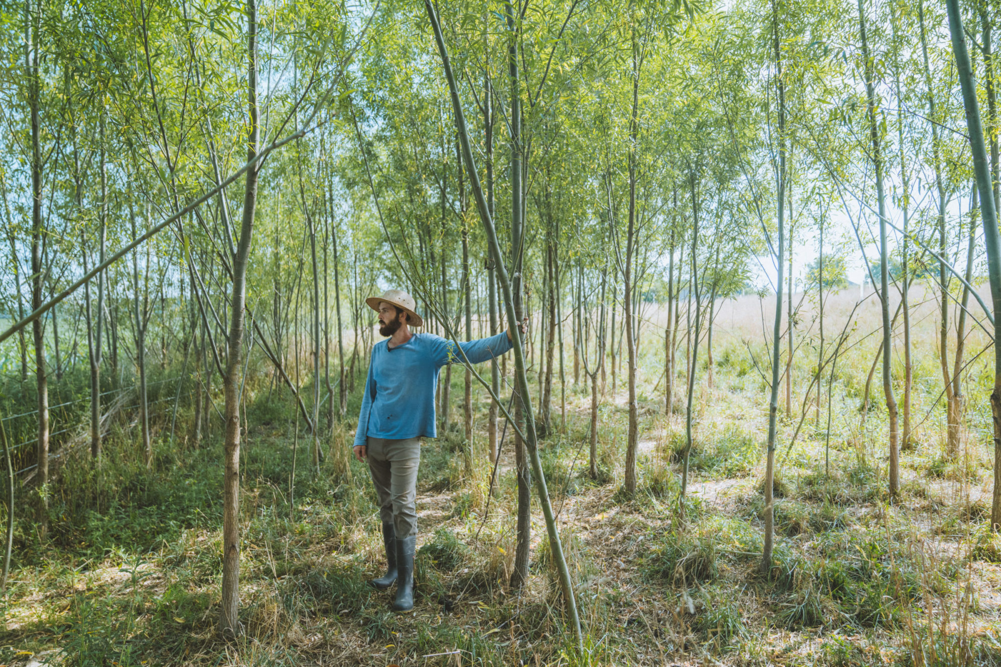
“We are always looking to improve ecological outcomes while making our farm more resilient and productive. We knew that the potential benefits for grazing animals would be great once the system was mature.”
Harrison Rhodes, Co-Owner + Operator, Rising Locust

