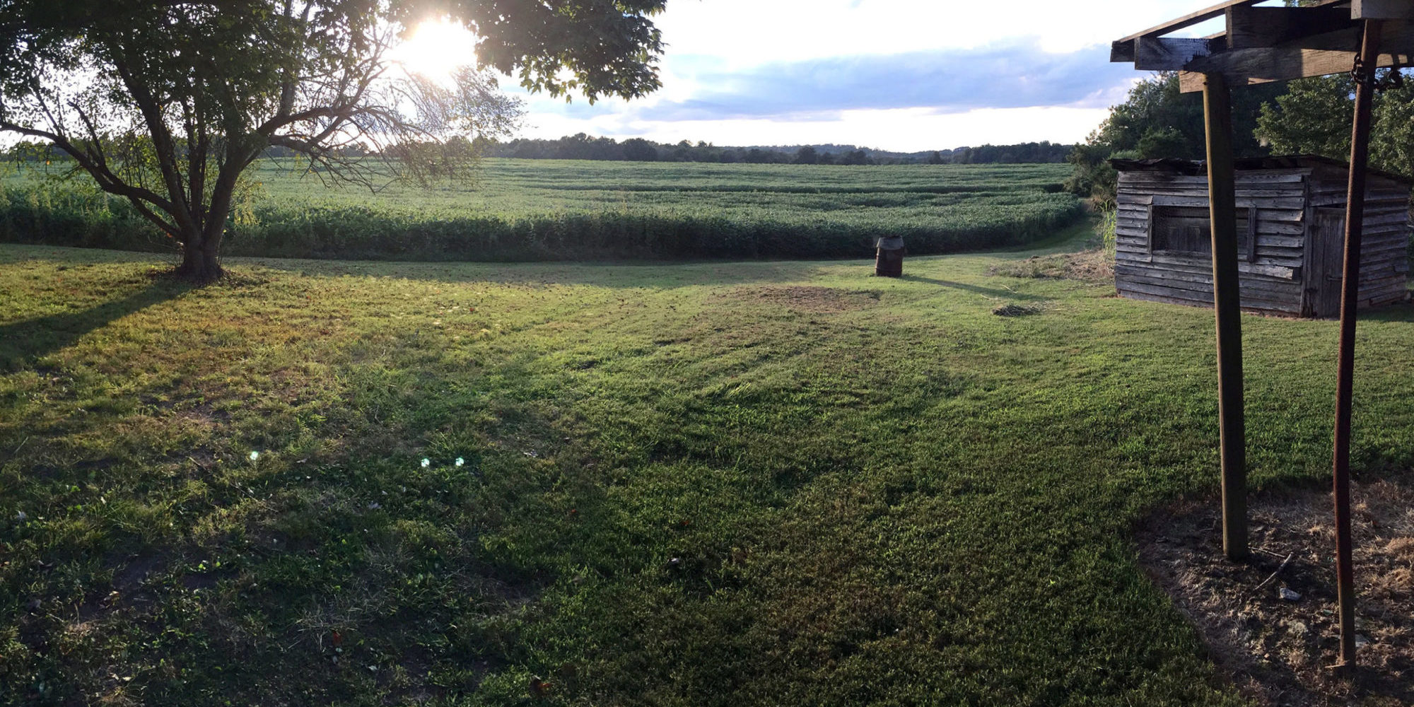
Enhancing the ecological function and usability of a community floodplain park.
Planning Department | Williamstown, MA
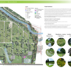
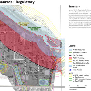
Spruces Park is a low-lying, mostly flat 50-acre park that sits in the floodplain of the Hoosic River. It was formerly the site of a mobile home community, which operated for 57 years before massive flooding from Hurricane Irene led to its closure, displacing 300 residents. The park, which was purchased by Williamstown through a FEMA Hazard Mitigation Grant and is subject to FEMA regulations, has since been used for passive recreation. In that time, Spruces Park advisory committees have made recommendations and submitted conceptual plans to the Town for expanding allowable uses on site, both in and out of the regulatory floodway. With the exception of the new bike path, however, improvements or changes to the site have been minimal.
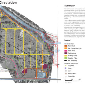
The Town of Williamstown engaged RDG to develop a Spruces Park Landscape Resource Plan, that integrated current and desired community uses with management patterns that contribute to the legibility and resiliency of the floodplain. Outreach to park users over the summer of 2021 confirmed that Spruces is valued by residents of Williamstown and surrounding towns as a place to gather, walk, bring dogs (on and off leash), run, birdwatch, and enjoy the open space and natural setting. Desired uses and/or features cited by users included: youth playing fields, clearer wayfinding (map of pathways, river access, etc.), more shade, increased variety of gardens, trees, and pollinator habitat, and kid-friendly play zones. The final concept struck a balance between establishing new programming and enhancing existing floodplain function, while avoiding the regulatory and cost constraints of encroaching on the floodway.
Key Features
- Expanded Wet Meadow
- Expanded Floodplain Forest
- Nature Play
- Youth Playing Fields
- Improved Circulation
Services Provided
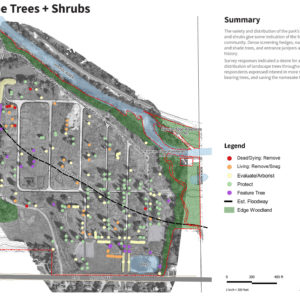
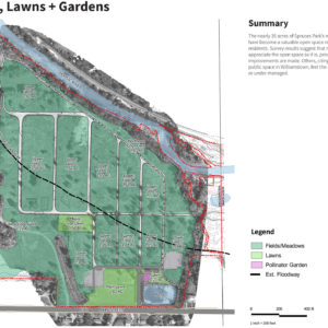
- Site Analysis + Assessment
- Development of Project Website for Stakeholder Outreach
- User Surveys
- Concept Development
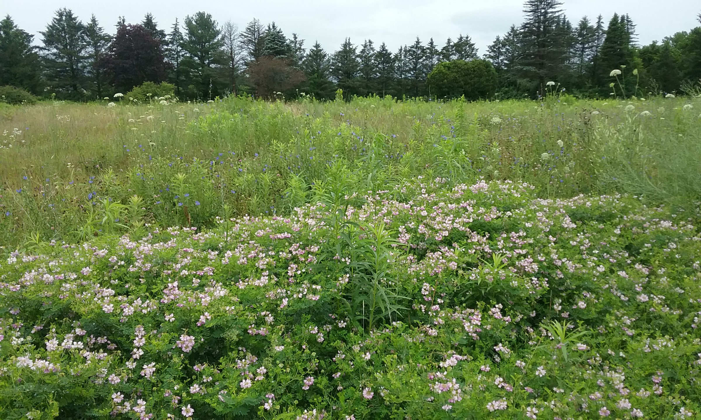
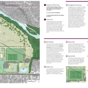
Summary of Plan Goals:
1. Find a balance between wilder open space and managed community uses within the park’s regulatory constraints.
2. Increase whole site legibility.
3. Expand opportunities for low impact recreation.

